Tag Archives: region

River map drawn like a subway map: Upper Ohio

15 Oct

upoh-main

Click to make BIG

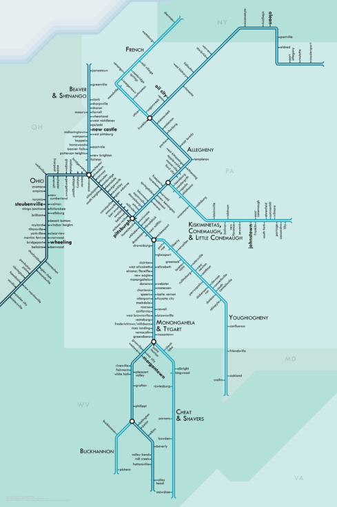
Cartographer Daniel Huffman has drawn maps of rivers as if they were a subway map. The fantastic transformation shows how important our rivers are as a transportation system. Lucky for us, he drew the Upper Ohio.

Check out all of his river maps, where you can download a pdf, donate, or even purchase a print.
Pittsburgh City Paper Circulation

5 Dec

map

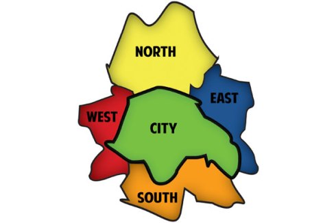
Our weekly, the Pittsburgh City Paper, has a funny map explaining their circulation, which is about 70,000.

10 Counties, 7000 Square miles, 2.66 million citizens, 548 municipalities, 132 School Districts, 3 PennDOT Districts, 10 Transit Agencies

17 Feb